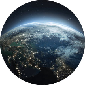
OZZI is powered by 4 globally distributed 24×7 operations centers, >120 regional analysts, and a patented AI network. Our military spec safety intelligence covering the entire globe is now available in for everyone in your pocket in real-time and on-demand.
Explore the below snapshot of intelligence that is curated inside of OZZI.
Satellite Imagery Analysis
Computer and human satellite imagery analysis is used to detect conditions on the ground, population centers, and informal settlements to provide street level threat context.
Official Government Reporting
Direct and indirect data relationships with local, state, and federal governments around the world drives historical and current perspectives with accuracy.
Social Media AI
Social Media AI combs through >500M social media posts in real-time. Posts flagged for threats are put through human vetting processes, which allows OZZI GOV to identify and verify existing and emerging threats no matter where you are on the planet.
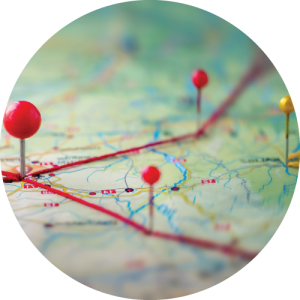
Geography and Travel Advice
Mapping data allow for safety risks, both large and small, to be visualized in proximity to your current location or wherever you travel.
Culture & Business Guides
Integration and acclimation guides make living and working in new areas easier and less confrontational. From language and gesture support to banking and business ettiquette, OZZI is a ready reference – even without the internet.
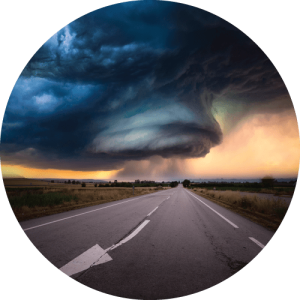
Weather Alerts
Weather and environmental intelligence provides line of sight into disruptions as they happen in real-time, or before they happen, allowing for preparation in advance of the outcome.
Join the Waitlist
Get early access to the latest news on OZZI and App Store release dates.